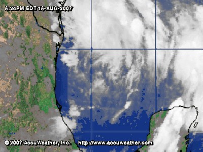
Map: Tropical Storm Erin
Associated Article Details
|
MMS Says Operators Beginning Evacuation Preparations for Erin Wednesday, August 15, 2007 - Offshore oil and gas operators in the Gulf of Mexico have begun evacuating platforms and rigs and have shut-in oil and natural gas production in the path of Tropical Storm Erin. << back to article |
|
|
| Image Description and Attributes | |
| Image Description: | Tropical Storm Erin |
| Keywords: | Tropical Storm Erin |
| Type of Image: | Map |
| Dimensions: | 400 pixels wide by 300 pixels tall |
| Date Created: | Wednesday, August 15, 2007 |
| Associated Regional Information | |
| Region: | Gulf of Mexico (view more from this region) |
| Country: | US (view more from this country) |
| Articles Associated with this Image/Map: | |
|
- MMS Says Operators Beginning Evacuation Preparations for Erin
[Wednesday, August 15, 2007]
- Tropical Storm Erin Hits Texas Coast; Hurricane Dean Forms [Thursday, August 16, 2007] |
|