Map: Appalachian Basin
Associated Article Details
|
Nextraction Wraps Up Ops in Appalachian Basin Wednesday, June 2, 2010 - Nextraction announced the successful completion of the Mountain Minerals #5 well located in its Appalachian Basin project. << back to article |
|
|
| Image Description and Attributes | |
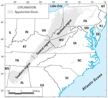
| Image Description: | Appalachian Basin |
| Keywords: | Appalachian Basin |
| Type of Image: | Map |
| Dimensions: | 375 pixels wide by 343 pixels tall |
| Date Created: | Thursday, February 1, 2007 |
| Associated Regional Information | |
| Region: | United States (view more from this region) |
| Country: | US (view more from this country) |
| Articles Associated with this Image/Map: | |
|
- Talisman Starts Production at Two Appalachia Wells
[Thursday, February 1, 2007]
- Admiral Bay to Begin Drilling of 7-Well Test Program in Appalachian Basin [Monday, January 28, 2008] - First National's Focus on Appalachian Basin Pays Off Early [Tuesday, February 12, 2008] - Domestic Energy Announces Appalachian Shale Plan [Monday, April 28, 2008] - Unbridled Updates Appalachian Basin Operations [Thursday, June 12, 2008] - NGAS's Leatherwood on Target, Plans for 20 Horizontal Wells [Tuesday, July 8, 2008] - Nextraction Wraps Up Ops in Appalachian Basin [Wednesday, June 2, 2010] - NGAS Drills 1st HZ Weir Well in Appalachian Basin [Tuesday, June 15, 2010] - AEC to Divest Appalachian O&G Properties [Wednesday, October 6, 2010] |
|