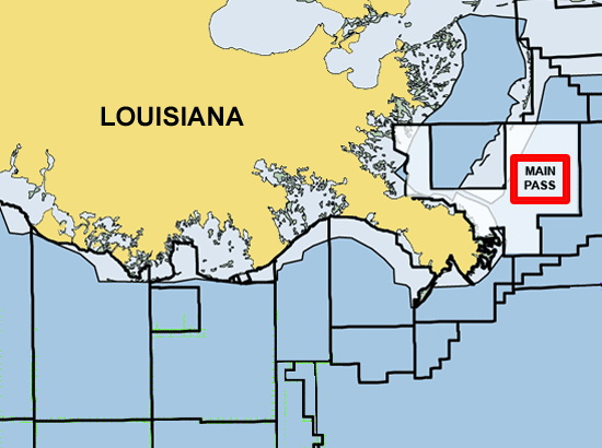
Map: Main Pass - Coastal Louisiana
Associated Article Details
|
Brigham Elevates Production Volumes, Completes Main Pass Discovery Wednesday, December 3, 2008 - Brigham has announced new completions including its Main Pass discovery at an initial rate of approximately 15.2 MMcfe per day. << back to article |
|
|
| Image Description and Attributes | |
| Image Description: | |
| Keywords: | Main Pass - Coastal Louisiana |
| Type of Image: | Map |
| Dimensions: | 550 pixels wide by 410 pixels tall |
| Date Created: | Thursday, September 8, 2005 |
| Associated Regional Information | |
| Region: | Gulf of Mexico (view more from this region) |
| Country: | US (view more from this country) |
| Articles Associated with this Image/Map: | |
|
- Rowan Confirms the Rowan New Orleans Capsized
[Thursday, September 8, 2005]
- W&T Offshore Drills 8 Successful Wells in the Gulf of Mexico [Monday, October 17, 2005] - McMoRan Exploration Updates Status of Main Pass Energy Hub [Monday, May 8, 2006] - TGS Extends Eastern Delta Gulf of Mexico Multi-Client 3D Survey [Monday, May 22, 2006] - Production has Been Restored on PetroQuest's Main Pass 74 Field [Thursday, August 16, 2007] - Brigham Elevates Production Volumes, Completes Main Pass Discovery [Wednesday, December 3, 2008] |
|