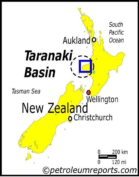
Map: Taranaki Basin Location Map
Associated Article Details
|
Tap Oil Drills Another Duster in New Zealand Wednesday, February 16, 2005 - Tap Oil reports that the Kakariki-1 exploration well is currently being plugged and abandoned having failed to find commercial quantities of hydrocarbons. << back to article |
|
|
| Image Description and Attributes | |
| Image Description: | Taranaki Basin Location Map |
| Keywords: | Taranaki Basin Location Map |
| Type of Image: | Map |
| Dimensions: | 450 pixels wide by 571 pixels tall |
| Date Created: | Wednesday, February 16, 2005 |
| Associated Regional Information | |
| Region: | Austral-Asia (view more from this region) |
| Country: | New Zealand (view more from this country) |
| Articles Associated with this Image/Map: | |
|
- Greymouth Petroleum Probes for Deep Gas with Turangi-1 Well
[Wednesday, February 16, 2005]
- Tap Oil Drills Another Duster in New Zealand [Wednesday, February 16, 2005] |
|