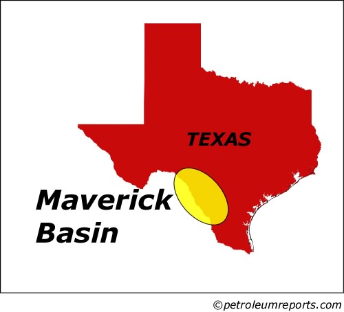
Map: Maverick Basin
Associated Article Details
|
Maverick Basin Project on Track Thursday, November 18, 2004 - Maverick Oil and Gas reports that it has reached total drill depth of 6,245' on Travis 641-H, the second well in its Maverick Basin project, and is awaiting completion after the rig moves off location. << back to article |
|
|
| Image Description and Attributes | |
| Image Description: | Maverick Basin |
| Keywords: | Maverick Basin |
| Type of Image: | Map |
| Dimensions: | 500 pixels wide by 454 pixels tall |
| Date Created: | Tuesday, June 29, 2004 |
| Associated Regional Information | |
| Region: | United States (view more from this region) |
| Country: | US (view more from this country) |
| Articles Associated with this Image/Map: | |
|
- Touchstone Resources & Blue Star to Explore Maverick Basin
[Tuesday, June 29, 2004]
- Maverick Oil & Gas Purchases Stake in Maverick Basin Project [Tuesday, August 3, 2004] - Touchstone Resources Expands Vicksburg Project [Monday, September 20, 2004] - The Exploration Company Updates Maverick Basin Operations [Thursday, November 4, 2004] - Maverick Basin Project on Track [Thursday, November 18, 2004] - Maverick Begins Production from Denamn #1 Well [Monday, February 7, 2005] |
|