Map: Snorre & Visund Fields, North Sea
Associated Article Details
|
Geotrace Wins Processing Contract for 4D Survey of Visund Friday, July 16, 2004 - Geotrace has been awarded a processing contract for the processing of a 4D seismic time lapse survey over Statoil's Visund field in the PL120, block 34/8, in the Norwegian sector of the North Sea. << back to article |
|
|
| Image Description and Attributes | |
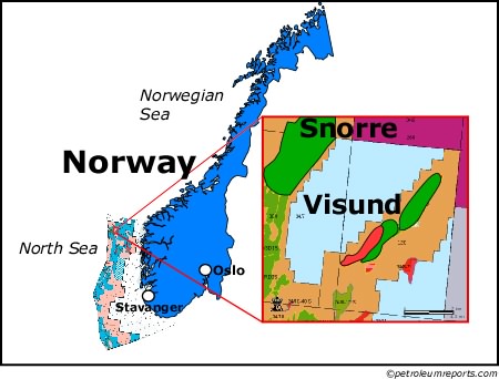
| Image Description: | Snorre & Visund Fields, North Sea |
| Keywords: | Snorre & Visund Fields, North Sea |
| Type of Image: | Map |
| Dimensions: | 450 pixels wide by 342 pixels tall |
| Date Created: | Tuesday, June 22, 2004 |
| Associated Regional Information | |
| Region: | North Sea (view more from this region) |
| Country: | Norway (view more from this country) |
| Articles Associated with this Image/Map: | |
|
- Odjfell Wins Drilling Contract from Statoil
[Tuesday, June 22, 2004]
- Geotrace Wins Processing Contract for 4D Survey of Visund [Friday, July 16, 2004] - Statoil Continues to Secure Snorre Well [Tuesday, November 30, 2004] - Statoil Cements Snorre Well [Thursday, December 2, 2004] - Statoil Continues to Secure Snorre A Well [Friday, December 3, 2004] - Statoil Updates Progress on Snorre Well [Monday, December 6, 2004] - Subsea 7 Wins Award for Work at Visund from Statoil [Wednesday, December 8, 2004] |
|